About Hillshade
Hillshade Consulting was established to help organisations better understand how landscapes have changed through time, and what those changes mean for cultural heritage, infrastructure projects, and land management.
By integrating historical research with modern spatial technologies, Hillshade reconstructs past landscapes and delivers specialist assessments, spatial analysis, and mapping that provide the historical context needed to support decision making.
Hillshade works with cultural heritage consultancies, Registered Aboriginal Parties, government agencies, and developers seeking specialist spatial analysis, historical research, and geospatial assessment services. Whether delivered as standalone investigations or integrated into broader assessments, the aim is the same: reduce uncertainty, support planning, and improve project outcomes.
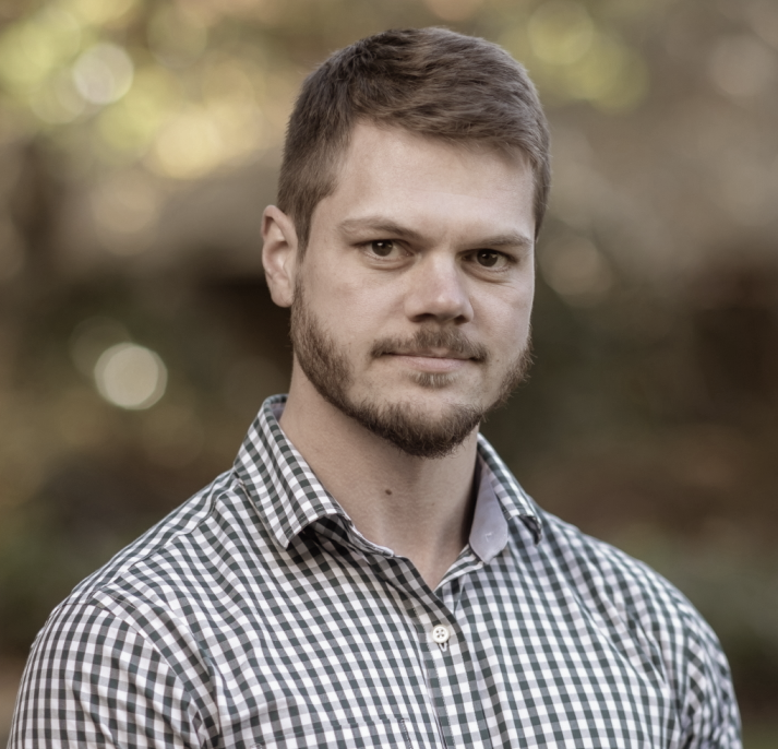
About Dr Greg Hil
Dr Greg Hil is the Founder and Principal Consultant at Hillshade Consulting. He is an archaeologist and geospatial analyst with more than a decade of experience applying Geographic Information Systems (GIS), LiDAR, historical mapping, and archival research to investigate archaeological landscapes and historical landscape change.
Greg completed his FPSR-funded PhD in Archaeology at La Trobe University in 2022, where he developed new geospatial methodologies for assessing the impacts of historical mining and urbanisation on archaeological landscapes. Since completing his doctorate, these methodologies have been further refined through their application across major infrastructure, land remediation, and cultural heritage projects throughout Victoria, delivering practical, evidence-based solutions for government agencies, Registered Aboriginal Parties, heritage consultancies, and developers.
Greg continues to maintain an affiliation with La Trobe University as an Adjunct Research Officer and remains an active researcher, contributing to peer-reviewed publications, conference presentations, and collaborative research projects. His work has included contributions to the ARC-funded Rivers of Gold project investigating the legacy of historical mining across Victorian landscapes, as well as research supporting Heritage Victoria’s Ballarat Archaeological Management Plan and other initiatives that continue to advance archaeological assessment practice.
His work is driven by a simple principle: that a better-informed understanding of landscapes and landscape change leads to better project outcomes for cultural heritage, infrastructure planning, and land management.